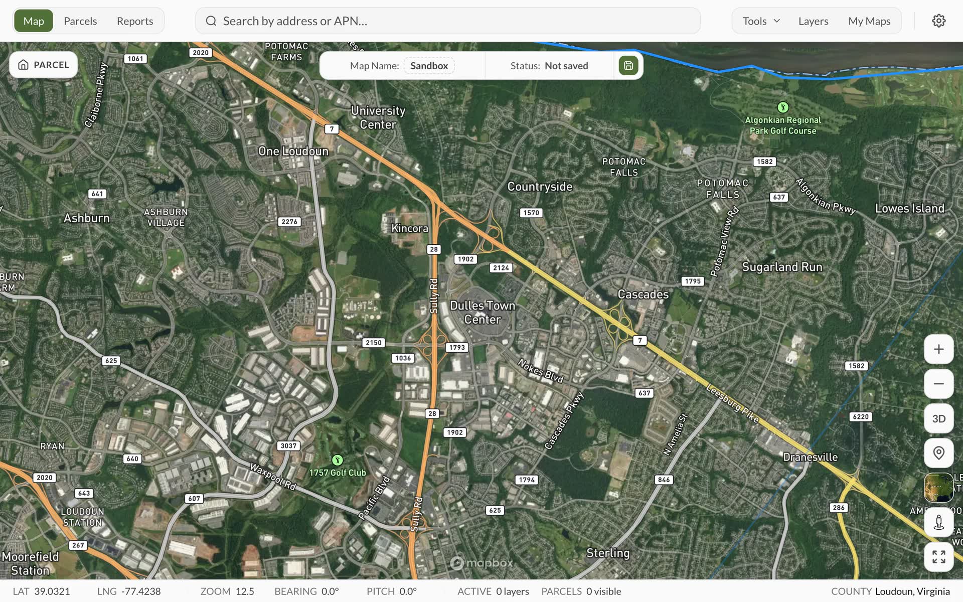
Land Owl gives you instant access to 160M+ US properties with county-verified data from county-verified sources. Search ownership, zoning, infrastructure overlays, and AI insights in seconds.
County-verified US data
Parcel data and zoning intelligence with direct county links
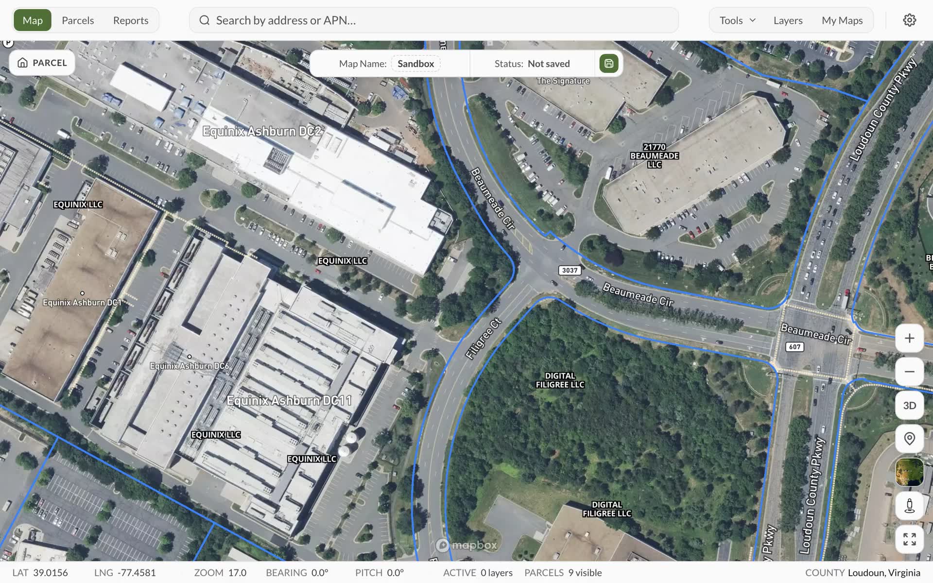
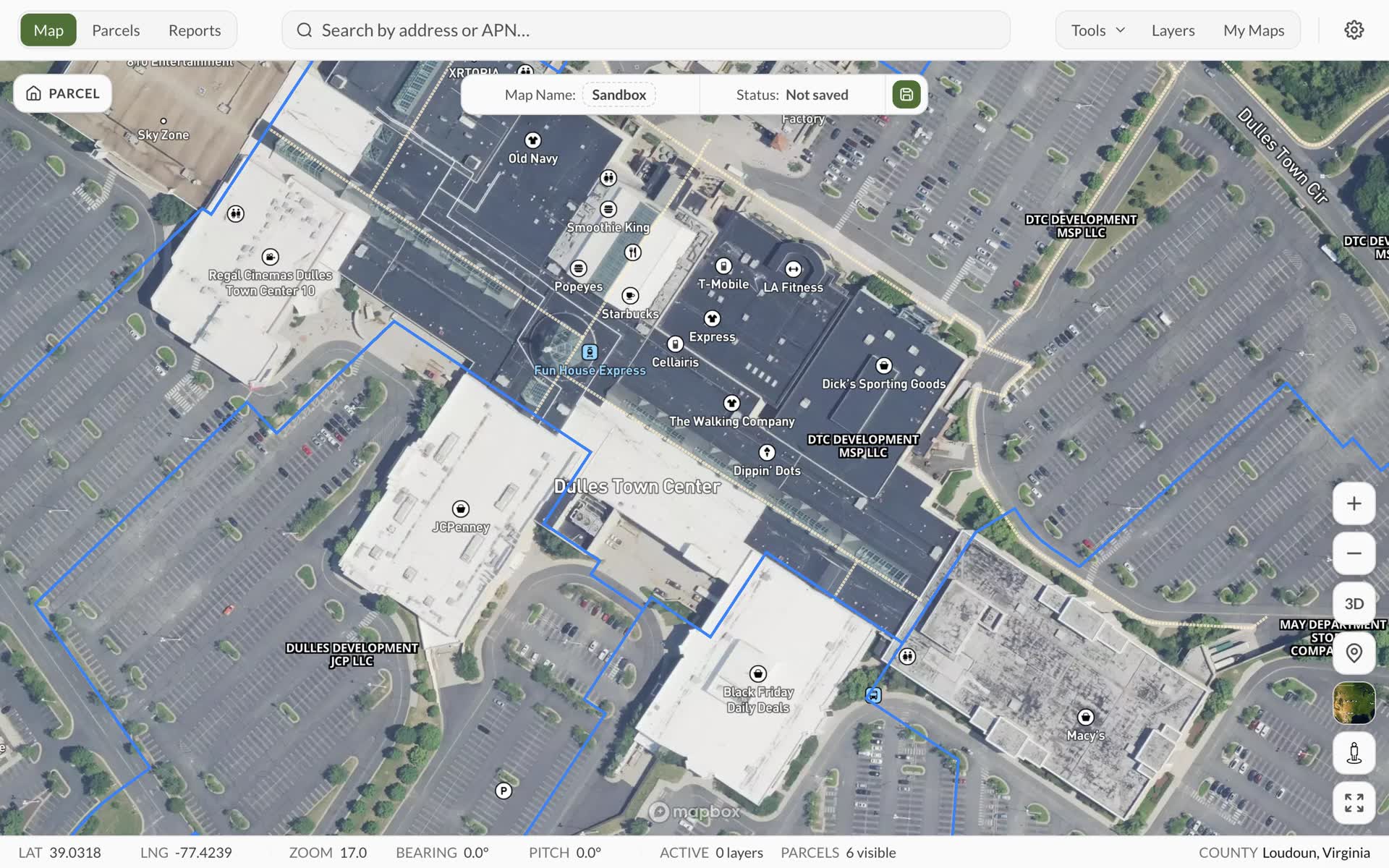
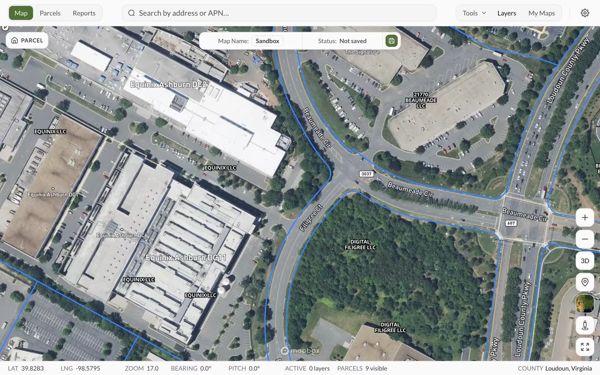
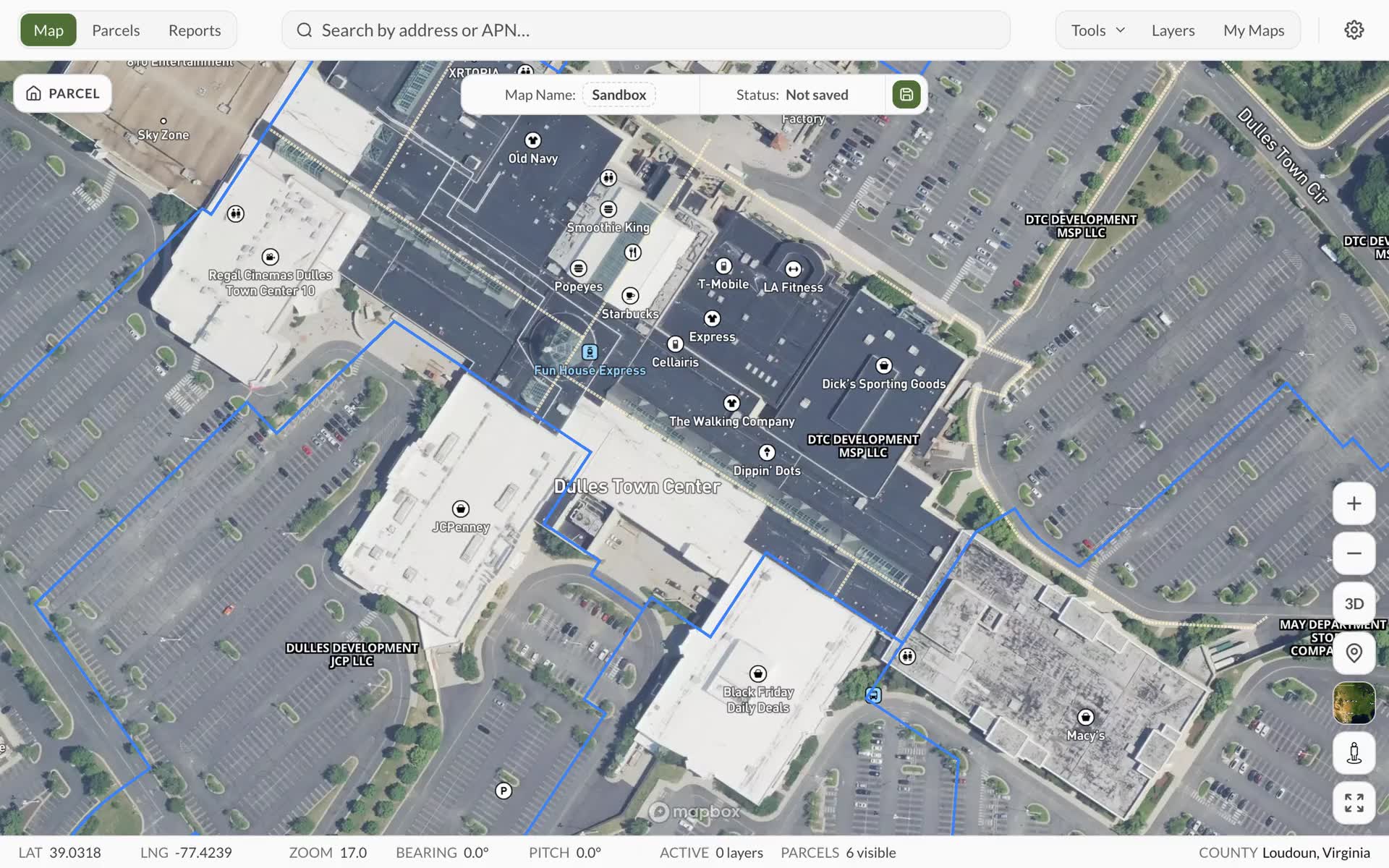
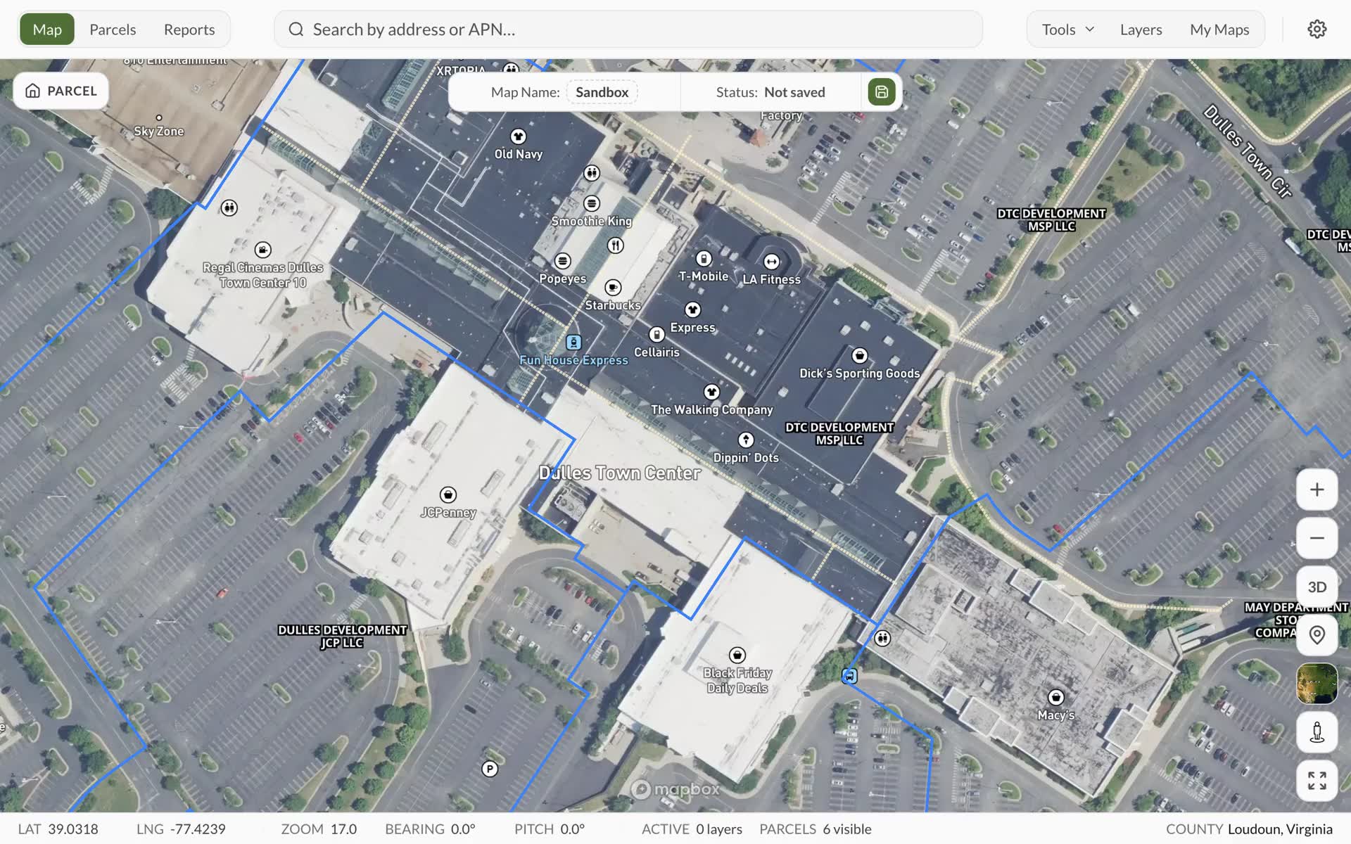
Access the most comprehensive US real estate database with county-verified data. Every parcel includes direct county links, ensuring you're viewing the most accurate, up-to-date information available.
County-verified ownership, sales, and valuation data
Residential, commercial, industrial, and agricultural parcels nationwide
Direct county assessment links for primary source verification
Filter by 30+ attributes: ownership, zoning, size, value, sales history, and more
Access comprehensive zoning data for every US parcel. Understand permitted uses, setbacks, height restrictions, and overlay zones before you buy — eliminating costly surprises.
Comprehensive zoning classifications and permitted uses
Interactive zoning overlays with detailed use restrictions and requirements
Infrastructure layers: Energy (transmission lines, substations, gas pipelines)
Shade the map by population growth, migration and income, state by state and county by county, from published Census, IRS and BLS figures. Hover a county to read its numbers.
Population growth, migration, income and more, on the map
A Demographics Report for any county, ranked against the rest of its state
Job growth, income moving in or out, building permits and housing cost burden
Report allowance on paid plans: 1 a month on Basic, 5 on Standard, unlimited on Premium
Save up to 10,000 parcels with custom tags, notes, and analysis. Track ownership changes, compare properties, and export comprehensive reports for investors, lenders, or stakeholders.
Save properties with custom names, tags, and detailed due diligence notes
Track multiple properties: residential developments, commercial sites, industrial parks
Compare parcels side-by-side with valuation, zoning, and infrastructure data
Export portfolio reports to CSV, Excel, or PDF for presentations and analysis
The people you work with do not need a Land Owl account to see what you found.
Shared maps
One link opens the live map
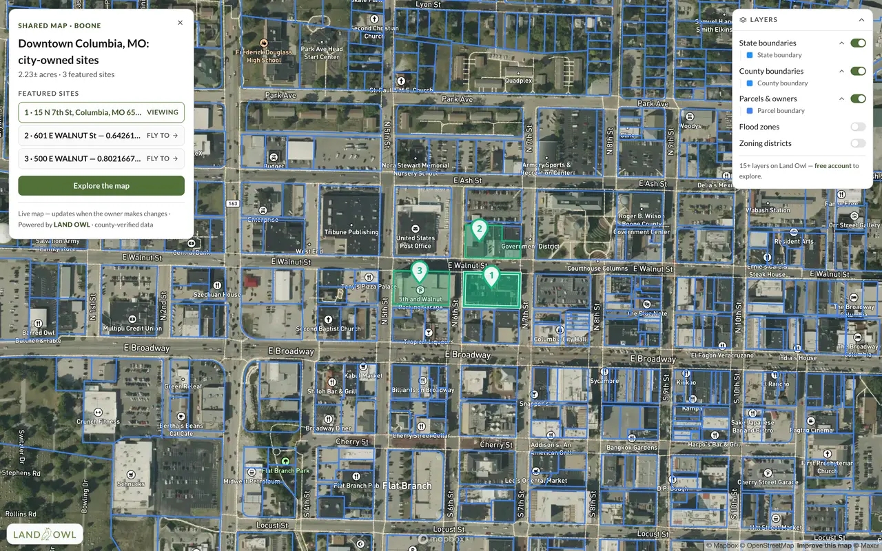
Publish a saved map and send the link. Whoever opens it gets the real interactive map in their browser, on the area you chose, with the layers you had on. No sign-up, no download.
A Land Owl shared map of city-owned parcels in downtown Columbia, Missouri, open in a browser with no account.
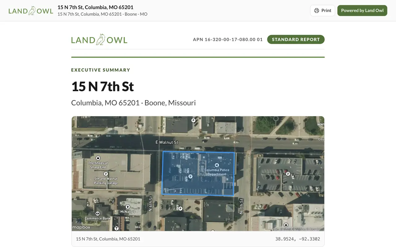
Generate a report on any parcel: land, zoning, tax, ownership and environmental hazards, with links to verify each at the source. Share it as a link anyone can open.
A Land Owl parcel report for a City of Columbia–owned site in Columbia, Missouri, open from a shared link.
We can supply parcel data for any county in the United States. Boundaries, owner names, assessed values and addresses — delivered as files you keep, not an API you rent.
Nothing is paid up front. Tell us which counties you need and we come back with a sample cut and a firm quote.
Everything you need to know about Land Owl. Can't find your answer? Contact our team →
What is Land Owl?
Land Owl is a real estate intelligence platform giving you instant access to 160M+ US parcels with county-verified data, zoning intelligence, infrastructure overlays, and AI-powered insights — all in one geospatial tool.
How does the free plan work?
Start on the free plan with no credit card — 20 parcel views a month plus the full map, search, and markup tools. Upgrade any time for more parcel views, saved maps, and owner details; no charge, no surprise.
What data layers are included?
15+ active layers: parcels, zoning, ownership, sales history, flood zones, wetlands, soil drainage, transmission lines, gas pipelines, power plants and substations, plus AI insights and comparable property analysis.
Can I export my data?
Yes. Export saved parcels and reports to CSV, Excel, or PDF for presentations, due diligence packages, and stakeholder analysis.
Can I share a map with someone who doesn't have an account?
Yes. Publish a saved map and Land Owl gives you a link — send it and whoever opens it gets the live, interactive map in their browser, with no sign-up and nothing to install. They land on the area you chose with the layers you had on, you choose which drawings, notes and parcels travel with the link, and you can put a password on it so a forwarded link is not an open door.
How accurate is your parcel data?
Every parcel includes direct county assessment links so you can verify the primary source. Data is refreshed regularly from county sources to keep ownership, valuation, and zoning current.
Can I upgrade or downgrade my plan anytime?
Yes. Switch plans at any time from your account settings. Upgrades take effect immediately; downgrades take effect at the next billing cycle.
Is my data private and secure?
Yes. All traffic is encrypted with 256-bit SSL. Your saved parcels, tags, and notes are private to your account and never shared with other users.
Get started today
Transform how you research land.
Join thousands of investors, developers, and land professionals using Land Owl to find off-market deals faster — with county-verified data on every parcel.